Atlasi i karte
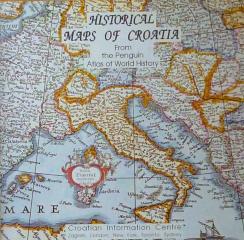
Historical Maps of Croatia
Pregled hrvatske povijesti kroz zemljovide, ilustracije i kronološke sažetke, uz etničke karte koje prostorne odnose povezuju s povijesnim i demografskim promjenama.
Moj prvi atlas svijeta 1: Geografski atlas Europe i Azije
Edukativni dječji atlas iz 2013. Kroz šarene tematske karte, živopisne ilustracije i pristupačne činjenice prilagođava geografiju Europe i Azije najmlađim istraživačima planeta.
Moj prvi atlas svijeta 2: Geografski atlas Afrike, Amerike, Australije i Oceanije
Edukativni dječji atlas iz 2013. Kroz šarene karte i ilustracije vodi najmlađe na putovanje kroz Afriku, Ameriku, Australiju i Oceaniju, otkrivajući im njihove prirodne i kulturne raznolikosti.
Moj prvi atlas svijeta 3: Povijesni atlas - prapovijest, stari i srednji vijek
Educational children's atlas from 2013. Through colorful maps and illustrations, it takes the youngest on a journey through prehistory, ancient and medieval times, revealing key events and ancient civilizations.
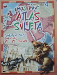
Moj prvi atlas svijeta 4: Povijesni atlas - XX. i XXI. stoljeće
This educational historical atlas provides an overview of key world events of the 20th and 21st centuries. With clear maps and illustrations, the handbook facilitates the understanding of contemporary history and geography.
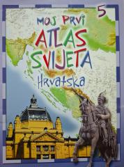
Moj prvi atlas svijeta 5: Hrvatska
This educational children's atlas provides an overview of the geographical, natural and cultural features of Croatia. With picturesque maps and illustrations, the manual brings the homeland closer to the youngest in a fun way.
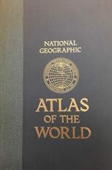
National Geographic Atlas of the World
The fifth edition of the National Geographic Atlas of the World from 1981 is a monumental cartographic work. It contains detailed maps, satellite imagery, and geographic data from the height of the Cold War.
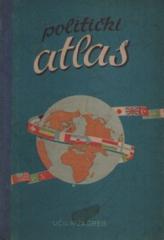
Politički atlas
Der Politische Atlas (Učila, Zagreb, 1957) ist ein Taschenatlas mit politischen Karten der Welt und einem Überblick über Länder, Grenzen und geographische Merkmale in der Zeit nach dem Zweiten Weltkrieg.
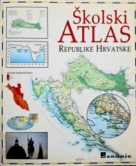
Školski atlas Republike Hrvatske
Der Schulatlas der Republik Kroatien (2000) ist ein grundlegendes kartografisches Unterrichtsmittel für Schülerinnen und Schüler. Er enthält detaillierte geografische, thematische und historische Karten von Kroatien und der Welt sowie ergänzende Daten.
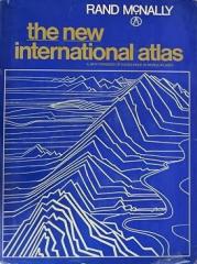
The New International Atlas
The monumental cartographic work The New International Atlas by Rand McNally from 1980 provides extremely precise multilingual maps and a detailed overview of the geopolitical landscape of the world during the Cold War.