Atlases and maps
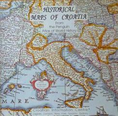
Historical Maps of Croatia
An introduction to Croatian history through maps, illustrations and chronological summaries, with ethnic maps adding a demographic perspective to historical geography.
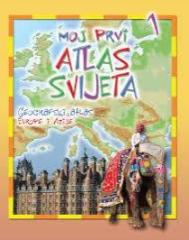
Moj prvi atlas svijeta 1: Geografski atlas Europe i Azije
Educational children's atlas from 2013. Through colorful thematic maps, vivid illustrations and accessible facts, it adapts the geography of Europe and Asia to the youngest explorers of the planet.
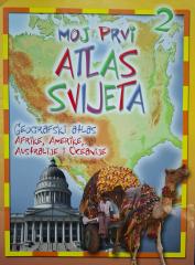
Moj prvi atlas svijeta 2: Geografski atlas Afrike, Amerike, Australije i Oceanije
Educational children's atlas from 2013. Through colorful maps and illustrations, it takes the youngest on a journey through Africa, America, Australia and Oceania, revealing their natural and cultural diversity.
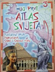
Moj prvi atlas svijeta 3: Povijesni atlas - prapovijest, stari i srednji vijek
Educational children's atlas from 2013. Through colorful maps and illustrations, it takes the youngest on a journey through prehistory, ancient and medieval times, revealing key events and ancient civilizations.
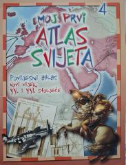
Moj prvi atlas svijeta 4: Povijesni atlas - XX. i XXI. stoljeće
This educational historical atlas provides an overview of key world events of the 20th and 21st centuries. With clear maps and illustrations, the handbook facilitates the understanding of contemporary history and geography.
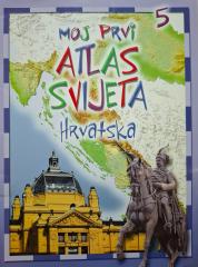
Moj prvi atlas svijeta 5: Hrvatska
Edukativni dječji atlas donosi pregled zemljopisnih, prirodnih i kulturnih osobina Hrvatske. Uz slikovite karte i ilustracije, priručnik na zabavan način približava domovinu najmlađima.
National Geographic Atlas of the World
Peto izdanje National Geographic Atlas of the World iz 1981. monumentalno je kartografsko djelo. Sadrži detaljne zemljovide, satelitske snimke i geografske podatke s vrhunca Hladnoga rata.
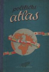
Politički atlas
Der Politische Atlas (Učila, Zagreb, 1957) ist ein Taschenatlas mit politischen Karten der Welt und einem Überblick über Länder, Grenzen und geographische Merkmale in der Zeit nach dem Zweiten Weltkrieg.
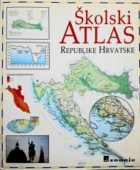
Školski atlas Republike Hrvatske
Der Schulatlas der Republik Kroatien (2000) ist ein grundlegendes kartografisches Unterrichtsmittel für Schülerinnen und Schüler. Er enthält detaillierte geografische, thematische und historische Karten von Kroatien und der Welt sowie ergänzende Daten.
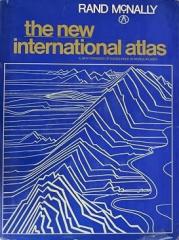
The New International Atlas
Das monumentale kartographische Werk „The New International Atlas“ von Rand McNally aus dem Jahr 1980 bietet äußerst präzise mehrsprachige Karten und einen detaillierten Überblick über die geopolitische Landschaft der Welt während des Kalten Krieges.