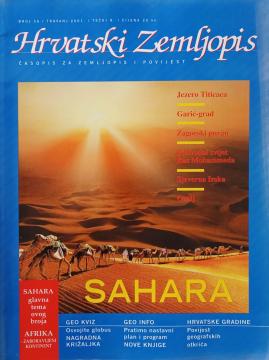
Hrvatski zemljopis # 56 - travanj 2001: Sahara
One copy is available
- Pen/marker notes

One copy is available
Are you interested in another book? You can search the offer using our search engine or browse books by category.
School atlas by Anton Emanuel Seibert for civic and multi-grade elementary schools, published in Vienna around 1901. Contains 19 main and 12 auxiliary maps of Europe and the world, as well as depictions of Austria-Hungary.
The Atlas offers detailed and updated maps of roads, highways, main thoroughfares, but also smaller regional roads in European countries.
The guide describes the Adriatic coast and all the places of former Yugoslavia with maps, over 100 pages of pictures and text.
The atlas contains thematic maps of the whole of Africa, physical maps of regions and Africa as a whole, and physical maps and basic data for each of the fifty-four states. There is an index of geographical names.