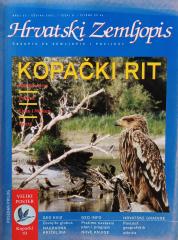
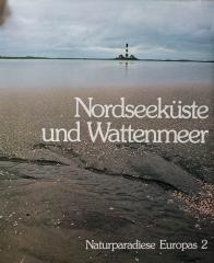
Atlas Europe
Es werden zwei Exemplare angeboten

Es werden zwei Exemplare angeboten
Interessieren Sie sich für ein anderes Buch? Sie können das Angebot über unsere Suchmaschine suchen und finden oder Bücher nach Kategorien durchsuchen.
The atlas contains thematic maps of the whole of Africa, physical maps of regions and Africa as a whole, and physical maps and basic data for each of the fifty-four states. There is an index of geographical names.
Uatlasnoj literaturi na našem jeziku “Atlas svijeta – Novi pogled na Zemlju” prvi je suvremeno koncipiran atlas.
Politički atlas (Učila, Zagreb, 1957) je džepni atlas sa političkim kartama sveta i pregledom zemalja, granica i geografskih karakteristika u periodu posle Drugog svetskog rata.
Školski atlas Antona Emanuela Zajberta za građanske i višerazredne osnovne škole, objavljen u Beču oko 1901. godine. Sadrži 19 glavnih i 12 pomoćnih karata Evrope i sveta, kao i prikaze Austrougarske.