
Atlas Europe
Naslov originala
Monde neuf
Urednik
Denis Šehić, Demir Šehić
Dimenzije
28,5 x 22,5 cm
Broj strana
120
Izdavač
Europapress holding, Zagreb
Latinica. Tvrde korice.
Jezik: Hrvatski.
ISBN
978-9-53674-806-8
Dva primerka su u ponudi
Dva primerka su u ponudi
Zanima Vas i neka druga knjiga? Možete pretražiti našu ponudu pomoću pretrage ili prelistati knjige po kategorijama.
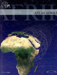
Atlas sadrži tematske karte čitave Afrike, fizičke karte regija i Afrike u cjelini, te fizičke karte i osnovne podatke za svaku od pedeset četiri države. Postoji kazalo geografskih imena.
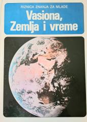
Knjiga „Vasiona, Zemlja i Mjesen“ (1981) je popularno naučno delo koje na pristupačan način objašnjava osnovne pojmove astronomije i nauke o Zemlji.
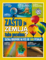
ZAŠTO se duge formiraju? Zašto je lišće zeleno? Zašto se Zemlja najbrže okreće na ekvatoru? Zašto ne mogu da iskopaju put do druge strane Zemlje? Zašto je more slano? Zašto pitamo zašto? Zato što uvek želimo da naučimo nešto novo!
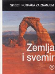
Knjiga sadrži važne činjenice i odgovore na mnoga pitanja o Zemlji i univerzumu.
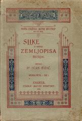
Slike iz opšte geografije. Knjiga V, Deo I.: Rusija je geografsko delo Ivana Hoića koje pruža sistematski pregled Ruskog carstva, njegovih prirodnih karakteristika, stanovništva, privrede i kulture.