Atlas Europe
Naslov originala
Monde neuf
Urednik
Denis Šehić, Demir Šehić
Dimenzije
28,5 x 22,5 cm
Broj strana
120
Izdavač
Europapress holding, Zagreb
Latinica. Tvrde korice.
Jezik: Hrvatski.
ISBN
978-9-53674-806-8
Dva primerka su u ponudi
Dva primerka su u ponudi
Zanima Vas i neka druga knjiga? Možete pretražiti našu ponudu pomoću pretrage ili prelistati knjige po kategorijama.
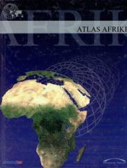
Atlas sadrži tematske karte čitave Afrike, fizičke karte regija i Afrike u cjelini, te fizičke karte i osnovne podatke za svaku od pedeset četiri države. Postoji kazalo geografskih imena.