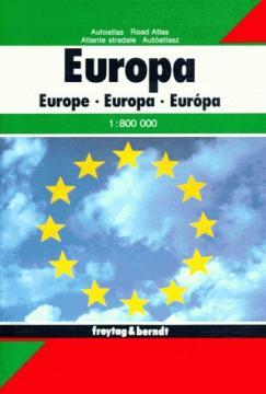
Grosser Autoatlas Europa: 1:800000
Dimensions
30 x 24 cm
Pages
479
Publisher
Freytag & Berndt, Vienna, 2011.
Latin alphabet. Hardcover.
Language: Croatian.
One copy is available
Condition:Unused
Added to cart!
One copy is available
Are you interested in another book? You can search the offer using our search engine or browse books by category.
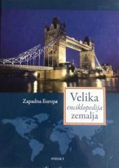
The third volume of the "Great Encyclopedia of Countries" deals with the area of Western Europe (France, Monaco, Luxembourg...).
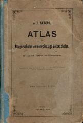
School atlas by Anton Emanuel Seibert for civic and multi-grade elementary schools, published in Vienna around 1901. Contains 19 main and 12 auxiliary maps of Europe and the world, as well as depictions of Austria-Hungary.
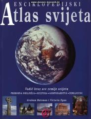
An encyclopedic handbook for school and every home. More than 500 pages, 200 maps and more than 500 photographs and illustrations. Rich and varied geographical, historical and economic content in encyclopedic format.
The atlas literature in our language "Atlas of the World - A New View of the Earth" is the first modernly conceived atlas.