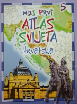
Moj prvi atlas : Hrvatska
This educational children's atlas provides an overview of the geographical, natural and cultural features of Croatia. With picturesque maps and illustrations, the manual brings the homeland closer to the youngest in a fun way.
My First Atlas: Croatia (2013 edition) is an attractive and accessible visual guide designed to introduce children and primary school students to the geographical, natural and cultural treasures of the Republic of Croatia. This atlas takes the youngest readers through all Croatian regions in a simple, interesting and age-appropriate way – from the Pannonian plains and the hilly central part, through the mountainous regions, to the indented Adriatic coast and islands. The content is richly illustrated and abounds in thematic maps showing relief, larger cities, natural beauties such as national parks and nature parks, as well as recognizable cultural and historical landmarks. Each region is accompanied by short, easy-to-remember facts, interesting facts about the local flora and fauna, tradition and economy, which stimulates children's curiosity and facilitates the acquisition of their first knowledge of nature and society and geography. Thanks to the clear layout, colorful illustrations and clear writing style, this atlas is an excellent educational tool for use at school and at home and a perfect first step in getting to know your own homeland.
One copy is available