
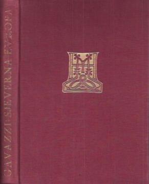
Zemljopis Evrope, 1. dio: Sjeverna Evropa - Norveška, Švedska, Finska, Kuoala i Svalbard
Geographical overview of Northern Europe with 8 drawings, 68 pictures and one map.
Two copies are available
Copy number 2
- Library stamp

Geographical overview of Northern Europe with 8 drawings, 68 pictures and one map.
Two copies are available
Are you interested in another book? You can search the offer using our search engine or browse books by category.
"History of the Middle Ages for the 5th grade of high school" is a textbook from 1953 that clearly presents the development of medieval Europe with rich illustrations, photographs, and historical maps.
A historical study of the transformations of the Russian Empire from Peter the Great to the early USSR, focusing on imperial geopolitics, ideological patterns, and relations with peoples within the empire.
"Pictures from General Geography" is a popular geographical work that depicts Bulgaria, Serbia and Montenegro through their natural features, population, history, economy and culture, with numerous illustrations and a geographical map.
Harald Haarmann's book presents the discovery of Europe's oldest highly developed culture (c. 5500–3500 BC), known as the Danube or Old European Civilization, with an emphasis on its writing, art and influence.
The Land of Cathars by Georges Serrus takes the reader through the history, landscapes, and cultural heritage of the south of France, exploring the heritage of the Cathars and their lasting legacy.
The book Rosslyn and the Grail by Scottish authors Mark Oxbrow and Ian Robertson is the most thorough and sobering work debunking the myths surrounding Rosslyn Chapel and its alleged connection to the Holy Grail and the Knights Templar.