Školski atlas Republike Hrvatske

Školski atlas Republike Hrvatske

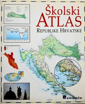
The School Atlas of the Republic of Croatia (2000) is a fundamental cartographic teaching aid intended for students. It contains detailed geographical, thematic, and historical maps of Croatia and the world, along with supplementary data.

The School Atlas of the Republic of Croatia, published in 2000, serves as a key cartographic resource designed in accordance with the geography curriculum for primary and secondary schools. This visually rich and meticulously crafted atlas is intended to help students develop spatial reasoning, understand geographical phenomena, and navigate maps of various scales. The atlas begins with a detailed overview of the physical and regional geography of Croatia, covering its distinct natural-geographical regions: Pannonian, Mountainous, and Adriatic Croatia. Thematic maps illustrate essential social and economic indicators, including population density, climatic characteristics, vegetation zones, transport networks, and the country's economic development during its first two decades of independence. The second part of the atlas features detailed general maps of the continents and the world, alongside thematic representations of global geographical and demographic processes. Clear cartographic symbols, precisely defined scales, and a comprehensive index of terms and toponyms allow for the quick location of geographical features. The atlas is an indispensable tool for geographical education and independent student research.

Editor
Anita Filipčić
Dimensions
29 x 24.5 cm
Pages
27
Publisher
Znanje, Zagreb, 2000.
 
Latin alphabet. Paperback.
Language: Croatian.

One copy is available

Condition:Used, excellent condition
 

Are you interested in another book? You can search the offer using our search engine or browse books by category.

You may also be interested in these titles

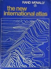
The New International Atlas

The New International Atlas

The monumental cartographic work The New International Atlas by Rand McNally from 1980 provides extremely precise multilingual maps and a detailed overview of the geopolitical landscape of the world during the Cold War.

Rand McNally, 1980.
English. Latin alphabet. Hardcover with dust jacket.
28.4625.61 €
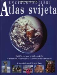
Enciklopedijski atlas svijeta

Enciklopedijski atlas svijeta

Graham Bateman, Victoria Egan

An encyclopedic handbook for school and every home. More than 500 pages, 200 maps and more than 500 photographs and illustrations. Rich and varied geographical, historical and economic content in encyclopedic format.

Extrade, 2001.
Croatian. Latin alphabet. Paperback.
32.4629.21 €
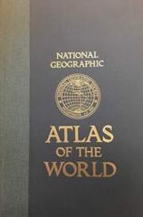
National Geographic Atlas of the World

National Geographic Atlas of the World

The fifth edition of the National Geographic Atlas of the World from 1981 is a monumental cartographic work. It contains detailed maps, satellite imagery, and geographic data from the height of the Cold War.

National Geographic Society, 1981.
English. Latin alphabet. Hardcover.
43.46 €
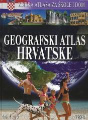
Geografski atlas Hrvatske

Geografski atlas Hrvatske

Denis Šehić, Demir Šehić

The atlas provides a detailed overview of the natural, social and economic characteristics of Croatia through contemporary maps, thematic overviews, statistical data and an overview of all Croatian regions. The first book in the series "Collection of atla

Profil Knjiga, 2009.
Croatian. Latin alphabet. Hardcover.
5.72 €
Politički atlas

Politički atlas

The Political Atlas (Učila, Zagreb, 1957) is a pocket atlas with political maps of the world and an overview of countries, borders, and geographical features in the period after World War II.

Učila - Kartografija, 1957.
Croatian. Latin alphabet. Hardcover.
6.42 €
Moj prvi atlas svijeta 5: Hrvatska

Moj prvi atlas svijeta 5: Hrvatska

This educational children's atlas provides an overview of the geographical, natural and cultural features of Croatia. With picturesque maps and illustrations, the manual brings the homeland closer to the youngest in a fun way.

EPH media d. o. o., 2013.
Croatian. Latin alphabet. Paperback.
2.50 €