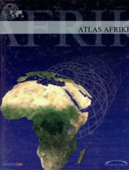
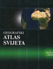
Geografski atlas Afrike
Atlas sadrži tematske karte čitave Afrike, fizičke karte regija i Afrike u cjelini, te fizičke karte i osnovne podatke za svaku od pedeset četiri države. Postoji kazalo geografskih imena.
Jedan primerak je u ponudi

Atlas sadrži tematske karte čitave Afrike, fizičke karte regija i Afrike u cjelini, te fizičke karte i osnovne podatke za svaku od pedeset četiri države. Postoji kazalo geografskih imena.
Jedan primerak je u ponudi
Zanima Vas i neka druga knjiga? Možete pretražiti našu ponudu pomoću pretrage ili prelistati knjige po kategorijama.
The atlas contains thematic maps of the whole of Africa, physical maps of regions and Africa as a whole, and physical maps and basic data for each of the fifty-four states. There is an index of geographical names.
WHY do rainbows form? Why are leaves green? Why does the Earth spin fastest at the equator? Why can't they dig a path to the other side of the earth? Why is the sea salty? Why do we ask why? Because we always want to learn something new!
Enzyklopädisches Handbuch für die Schule und jedes Zuhause. Mehr als 500 Seiten, 200 Karten und über 500 Fotos und Illustrationen. Umfangreiche und vielfältige geografische, historische und wirtschaftliche Inhalte im enzyklopädischen Format.
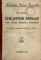
Udžbenik geografije za sve kontinente (osim Evrope) namenjen nižim razredima srednjih škola u Nezavisnoj Državi Hrvatskoj. Delo istaknutog hrvatskog geografa i pedagoga Iva Jurasa, ilustrovano zanimljivim crno-belim slikama.