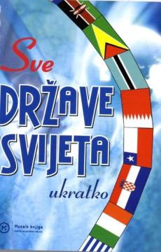
Sve države svijeta : ukratko
Mape i osnovne informacije o svakoj zemlji na svetu.
Podaci su: naziv, državna organizacija, površina, broj i gustina stanovnika, glavni grad, službeni jezik, novčana jedinica, BDP, šifre prema standardu ISO 3166.
Urednik
Ivanka Borovac
Dimenzije
15 x 11 cm
Broj strana
128
Izdavač
Mozaik knjiga, Zagreb, 2004.
Latinica. Broširano.
Jezik: Hrvatski.
Jedan primerak je u ponudi
Stanje:Korišćeno, u odličnom stanju
Dodato u korpu!