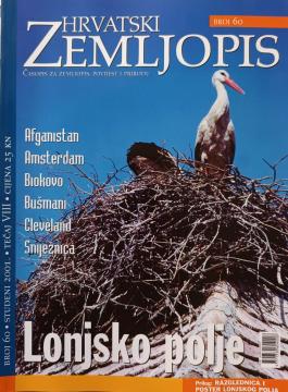
Hrvatski zemljopis # 60 - studeni 2001: Lonjsko polje
Angeboten wird ein Exemplar

Angeboten wird ein Exemplar
Interessieren Sie sich für ein anderes Buch? Sie können das Angebot über unsere Suchmaschine suchen und finden oder Bücher nach Kategorien durchsuchen.
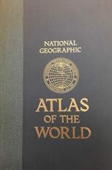
Peto izdanje Nacionalnog geografskog atlasa sveta iz 1981. godine je monumentalno kartografsko delo. Sadrži detaljne mape, satelitske snimke i geografske podatke iz vrhunca Hladnog rata.
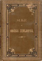
„Slike iz općega zemljopisa“ je popularno geografsko delo koje prikazuje Bugarsku, Srbiju i Crnu Goru kroz njihove prirodne karakteristike, stanovništvo, istoriju, privredu i kulturu, uz brojne ilustracije i geografsku kartu.
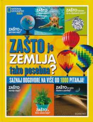
WHY do rainbows form? Why are leaves green? Why does the Earth spin fastest at the equator? Why can't they dig a path to the other side of the earth? Why is the sea salty? Why do we ask why? Because we always want to learn something new!
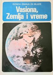
The book "Vasiona, Zemlja i Mjesen" (1981) is a popular scientific work that explains the basic concepts of astronomy and earth science in an accessible way.
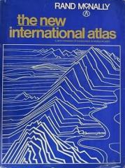
The monumental cartographic work The New International Atlas by Rand McNally from 1980 provides extremely precise multilingual maps and a detailed overview of the geopolitical landscape of the world during the Cold War.