Velika enciklopedija zemalja - Sjeverna i istočna Europa
One copy is available

One copy is available
Are you interested in another book? You can search the offer using our search engine or browse books by category.
The Atlas offers detailed and updated maps of roads, highways, main thoroughfares, but also smaller regional roads in European countries.
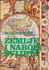
An encyclopedic handbook for school and every home. More than 500 pages, 200 maps and more than 500 photographs and illustrations. Rich and varied geographical, historical and economic content in encyclopedic format.
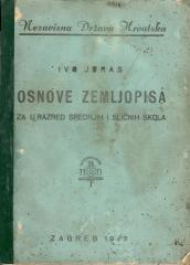
A geography textbook for all continents (except Europe) intended for lower grades of secondary schools in the Independent State of Croatia. The work of the prominent Croatian geographer and pedagogue Ivo Juras, illustrated with interesting black-and-white
WHY do rainbows form? Why are leaves green? Why does the Earth spin fastest at the equator? Why can't they dig a path to the other side of the earth? Why is the sea salty? Why do we ask why? Because we always want to learn something new!
A rare interwar edition of a geography textbook (Belgrade, 1934) with 11 color atlas maps and 150 illustrations. Valuable as an antiquarian and cultural-historical document of education and cartography in the Kingdom of Yugoslavia.