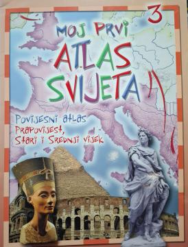
Moj prvi atlas svijeta 3: Povijesni atlas - prapovijest, stari i srednji vijek

Moj prvi atlas svijeta 3: Povijesni atlas - prapovijest, stari i srednji vijek

Pädagogischer Kinderatlas aus dem Jahr 2013. Anhand farbenfroher Karten und Illustrationen nimmt er die Jüngsten mit auf eine Reise durch die Vorgeschichte, die Antike und das Mittelalter und enthüllt wichtige Ereignisse und antike Zivilisationen.

„Mein erster Weltatlas: Historischer Atlas: Vorgeschichte, Antike und Mittelalter“ (Ausgabe 2013) ist eine lehrreiche und visuell ansprechende Publikation für Kinder im Vorschul- und Grundschulalter. Dieser Band nimmt die jüngsten Forscher mit auf eine spannende Reise in die Vergangenheit und erklärt ihnen, wie die Menschen lebten und die ersten Zivilisationen errichteten. Das Buch enthält adaptierte historische Karten und farbenfrohe Illustrationen, die wichtige Epochen der Menschheitsgeschichte detailgetreu darstellen. Spielerisch entdecken Kinder das Leben in der Vorgeschichte und im Zeitalter der Dinosaurier, die Geheimnisse des alten Ägypten, Griechenlands und Roms sowie Ritter, Burgen und den Alltag im Mittelalter. Ergänzend zu den Karten erklären kurze und leicht verständliche Texte wichtige historische Meilensteine, Erfindungen und Lebensweisen antiker Völker auf einfache und kindgerechte Weise. Mit seinem übersichtlichen und attraktiven Format weckt dieser historische Atlas die Neugier auf die Vergangenheit, fördert das Verständnis von Zeit und Raum und ist der perfekte Einstieg in die Weltgeschichte.

Editor
Gordan Zečić
Graphics design
Demir Šehić
Dimensions
29.5 x 22 cm
Pages
31
Publisher
EPH media d. o. o., Zagreb, 2013.
 
Latin alphabet. Paperback.
Language: Croatian.

One copy is available

Condition:Used, excellent condition
 

Are you interested in another book? You can search the offer using our search engine or browse books by category.

You may also be interested in these titles

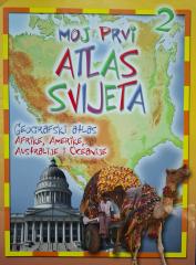
Moj prvi atlas svijeta 2: Geografski atlas Afrike, Amerike, Australije i Oceanije

Moj prvi atlas svijeta 2: Geografski atlas Afrike, Amerike, Australije i Oceanije

Educational children's atlas from 2013. Through colorful maps and illustrations, it takes the youngest on a journey through Africa, America, Australia and Oceania, revealing their natural and cultural diversity.

EPH media d. o. o., 2013.
Croatian. Latin alphabet. Paperback.
2.50 €
Geografski atlas Hrvatske

Geografski atlas Hrvatske

Denis Šehić, Demir Šehić

The atlas provides a detailed overview of the natural, social and economic characteristics of Croatia through contemporary maps, thematic overviews, statistical data and an overview of all Croatian regions. The first book in the series "Collection of atla

Profil Knjiga, 2009.
Croatian. Latin alphabet. Hardcover.
5.72 €
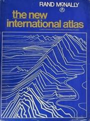
The New International Atlas

The New International Atlas

The monumental cartographic work The New International Atlas by Rand McNally from 1980 provides extremely precise multilingual maps and a detailed overview of the geopolitical landscape of the world during the Cold War.

Rand McNally, 1980.
English. Latin alphabet. Hardcover with dust jacket.
28.46 €
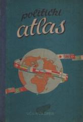
Politički atlas

Politički atlas

The Political Atlas (Učila, Zagreb, 1957) is a pocket atlas with political maps of the world and an overview of countries, borders, and geographical features in the period after World War II.

Učila - Kartografija, 1957.
Croatian. Latin alphabet. Hardcover.
6.42 €
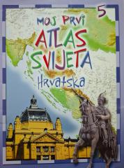
Moj prvi atlas svijeta 5: Hrvatska

Moj prvi atlas svijeta 5: Hrvatska

This educational children's atlas provides an overview of the geographical, natural and cultural features of Croatia. With picturesque maps and illustrations, the manual brings the homeland closer to the youngest in a fun way.

EPH media d. o. o., 2013.
Croatian. Latin alphabet. Paperback.
2.50 €