Rare book
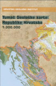
Tumač geološke karte Republike Hrvatske 1:300.000
Original title
Explanatory Notes of the Geological Map of the Republic of Croatia in 1:300.000 Scale
Editor
Ivo Velić, Igor Vlahović
Graphics design
Snježana Engelman Džafić
Dimensions
25.5 x 17.5 cm
Pages
141
Publisher
24 sata, Zagreb, 2009.
Latin alphabet. Hardcover.
Language: Croatian.
ISBN
978-9-53690-710-6
No copies available
The last copy was sold recently.