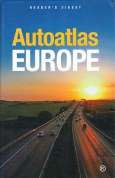
Autoatlas Europe

Autoatlas Europe

Vid Jakša Opačić

The Atlas offers detailed and updated maps of roads, highways, main thoroughfares, but also smaller regional roads in European countries.

This atlas was ideal for drivers and travelers who wanted to plan longer trips around Europe. It was especially useful in the era before the widespread availability of GPS technology, when printed atlases were the primary means of navigation.

Original title
Book of the road Europe
Translation
Vesna Bačić
Editor
Vid Jakša Opačić
Illustrations
Vera Vachova
Graphics design
Vera Vachova
Dimensions
28.5 x 19.5 cm
Pages
404
Publisher
Mozaik knjiga, Zagreb, 2008.
 
Latin alphabet. Hardcover.
Language: Croatian.
ISBN
978-9-53140-143-2

No copies available

The last copy was sold recently.


Are you interested in another book? You can search the offer using our search engine or browse books by category.

You may also be interested in these titles

Sjeverna i Srednja Amerika, Veliki Antili

Sjeverna i Srednja Amerika, Veliki Antili

Mladinska knjiga, 1991.
Croatian. Latin alphabet. Hardcover.
7.18 - 7.22
Zemljopisni atlas svijeta

Zemljopisni atlas svijeta

Alfonso Cvitanović

Westermann geographical atlas of the world, Earth and space, countries of the world

Mladost, 1989.
Croatian. Latin alphabet. Hardcover.
10.16
Atlas svijeta za školu i dom

Atlas svijeta za školu i dom

Mozaik knjiga, 2001.
Croatian. Latin alphabet. Hardcover.
8.486.78 - 8.86
Veliki atlas svijeta

Veliki atlas svijeta

Alfonso Cvitanović
Mladinska knjiga, 1972.
Croatian. Latin alphabet. Hardcover with dust jacket.
5.28
Nacionalni park Durmitor: planinarski vodič

Nacionalni park Durmitor: planinarski vodič

Branislav Cerović

Guide with 53 photos, 2 sketches and a color overview map.

Planinarski savez Beograda, 1079.
Serbian. Latin alphabet. Paperback.
7.98
Velika enciklopedija zemalja - Sjeverna i istočna Europa

Velika enciklopedija zemalja - Sjeverna i istočna Europa

24 sata, 2009.
Croatian. Latin alphabet. Hardcover.
5.98