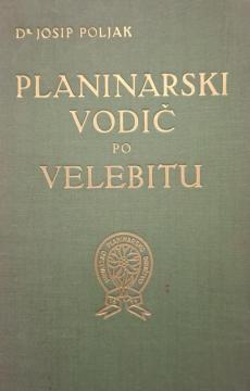
Planinarski vodič po Velebitu
There are two of the four maps. The text written long ago and the images taken at that time take us back almost a century, showing us details some of which we recognize even today, but unfortunately we can no longer see many.
The bare stone cliffs of the peaks around Rožanski and Hajdučki kukovi, as well as the imposing Strogir, and the peaks from Satorina to Sv. Brdo have not changed! The Paklenica canyons are still imposing with their verticals, as are the peaks of Tulove grede, and we can recognize all of this in the old illustrations in the etchings and among the pages of the Guide itself. The only thing that has changed is that the mountain no longer has its numerous and permanent inhabitants, but numerous paved roads now crisscross the mountain itself, there are now many more mountain huts than before, so "old Velebit" has become both closer and more accessible to us for our longer stays on its expanses. However, the fact written in the author's Foreword still remains as a lasting truth that "there are few mountains in our country that, in addition to their natural wealth of beauty, abound with such views as we have on Velebit", and they still last today from sunrise to sunset.
One copy is available
- Slight damage to the cover