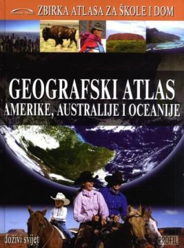
Geografski atlas Amerike, Australije i Oceanije
The Geographic Atlas of America, Australia and Oceania features physical and political maps of countries, thematic maps, statistical data and geographical and historical overviews of regions and countries of the three continents. The fourth book in the se
Geographical Atlas of America, Australia and Oceania by Denis and Demir Šehić, published in Profil 2009, is part of the Atlas Collection for Schools and Homes edition intended for pupils, students, teachers and all those interested in contemporary world geography. The content is organized by regions and countries of North America, Central America, the Caribbean, South America, Australia and Oceania.
The atlas contains detailed physical and political maps of all countries and major areas, with depictions of relief, hydrographic network, climatic features, vegetation zones, traffic routes and population. Each country is accompanied by a concise geographical and historical overview and basic statistical data, including area, population, capital, official language, currency and other key characteristics. Thematic maps show natural resources, economy, population density, climatic features and other spatial processes that enable comparison between countries and regions.
The special value of the atlas lies in the clear cartographic treatment, compliance of geographical names with international standards and updated statistical overviews. Due to the combination of high-quality maps, tables, photographs and concise texts, the atlas is a reliable reference manual for teaching geography, self-study and general introduction to the geography of America, Australia and Oceania.
One copy is available
- Slight damage to the cover