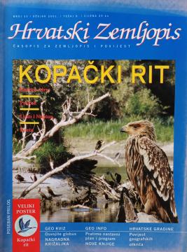
Hrvatski zemljopis # 55 - ožujak 2001: Kopački rit
One copy is available

One copy is available
Are you interested in another book? You can search the offer using our search engine or browse books by category.
From The Penguin Atlas of World History that offers a unique combination of maps and illustrations with detailed chronological summary.
A geography textbook for all continents (except Europe) intended for lower grades of secondary schools in the Independent State of Croatia. The work of the prominent Croatian geographer and pedagogue Ivo Juras, illustrated with interesting black-and-white
The fifth edition of the National Geographic Atlas of the World from 1981 is a monumental cartographic work. It contains detailed maps, satellite imagery, and geographic data from the height of the Cold War.
A rare interwar edition of a geography textbook (Belgrade, 1934) with 11 color atlas maps and 150 illustrations. Valuable as an antiquarian and cultural-historical document of education and cartography in the Kingdom of Yugoslavia.
The book contains important facts and answers to many questions about the Earth and the universe.