Atlanten und Karten
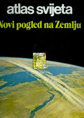
Atlas svijeta – Novi pogled na Zemlju
Die Atlasliteratur in unserer Sprache „Atlas der Welt – Ein neuer Blick auf die Erde“ ist der erste modern konzipierte Atlas.
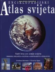
Enciklopedijski atlas svijeta
Enciklopedijski priručnik za školu i svaki dom. Više od 500 stranica, 200 zemljovida i više od 500 fotografija i ilustracija. Bogat i raznovrstan geografski, povijesni i ekonomski sadržaj enciklopedijskog formata.
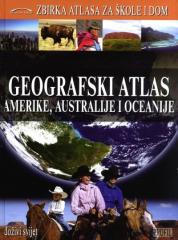
Geografski atlas Amerike, Australije i Oceanije
Geografski atlas Amerike, Australije i Oceanije donosi fizičke i političke karte država, tematske zemljovide, statističke podatke te geografsko-povijesne prikaze regija i država triju kontinenata. Četvrta knjiga iz serije "Zbirka atlasa za škole i dom".
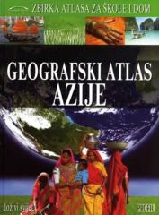
Geografski atlas Azije
The Geographical Atlas of Asia provides an overview of the natural, social and economic features of the largest continent through detailed maps, photographs and overviews. The third of nine books in the "Collection of Atlases for Schools and Home" series.
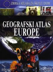
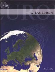
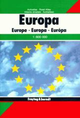
Geografski atlas Europe
Atlas pruža sistematski pregled Evrope kroz fizičke i političke karte, tematske karte, statističke podatke i profile zemalja, omogućavajući razumevanje prirodnih i društvenih karakteristika kontinenta. Treća knjiga u seriji „Zbirka atlasa za škole i do
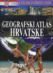
Geografski atlas Hrvatske
The atlas provides a detailed overview of the natural, social and economic characteristics of Croatia through contemporary maps, thematic overviews, statistical data and an overview of all Croatian regions. The first book in the series "Collection of atla
Geografski atlas svijeta - za škole i dom
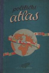
Politički atlas
Politički atlas (Učila, Zagreb, 1957) je džepni atlas sa političkim kartama sveta i pregledom zemalja, granica i geografskih karakteristika u periodu posle Drugog svetskog rata.