Atlases and maps
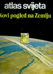
Atlas svijeta – Novi pogled na Zemlju
Die Atlasliteratur in unserer Sprache „Atlas der Welt – Ein neuer Blick auf die Erde“ ist der erste modern konzipierte Atlas.
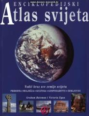
Enciklopedijski atlas svijeta
Enzyklopädisches Handbuch für die Schule und jedes Zuhause. Mehr als 500 Seiten, 200 Karten und über 500 Fotos und Illustrationen. Umfangreiche und vielfältige geografische, historische und wirtschaftliche Inhalte im enzyklopädischen Format.
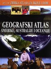
Geografski atlas Amerike, Australije i Oceanije
Der geografische Atlas von Amerika, Australien und Ozeanien bietet physische und politische Karten der Länder, thematische Karten, statistische Daten sowie geografische und historische Beschreibungen der Regionen und Länder der drei Kontinente.
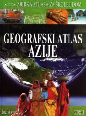
Geografski atlas Azije
Der Geographische Atlas von Asien bietet anhand detaillierter Karten, Fotografien und Übersichten einen Überblick über die natürlichen, sozialen und wirtschaftlichen Merkmale des größten Kontinents. Er ist der dritte von neun Bänden der Reihe „Atlanten fü
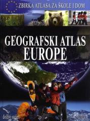
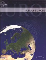
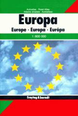
Geografski atlas Europe
The atlas provides a systematic overview of Europe through physical and political maps, thematic maps, statistical data and country profiles, enabling an understanding of the continent's natural and social features. The secod book in the "Collection of At
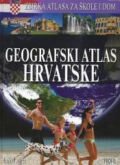
Geografski atlas Hrvatske
The atlas provides a detailed overview of the natural, social and economic characteristics of Croatia through contemporary maps, thematic overviews, statistical data and an overview of all Croatian regions. The first book in the series "Collection of atla
Geografski atlas svijeta - za škole i dom
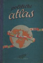
Politički atlas
The Political Atlas (Učila, Zagreb, 1957) is a pocket atlas with political maps of the world and an overview of countries, borders, and geographical features in the period after World War II.