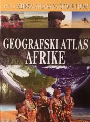
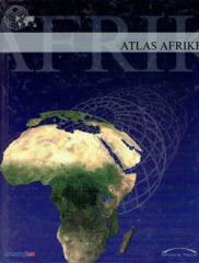
The atlas contains thematic maps of the whole of Africa, physical maps of regions and Africa as a whole, and physical maps and basic data for each of the fifty-four states. There is an index of geographical names.
Retko međuratno izdanje udžbenika geografije (Beograd, 1934) sa 11 atlasnih karata u boji i 150 ilustracija. Vredno kao antikvarni i kulturno-istorijski dokument obrazovanja i kartografije u Kraljevini Jugoslaviji.