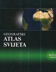
Hrvatski zemljopis # 13 - prosinac 1995
Dimenzije
29,5 x 21 cm
Broj strana
49
Izdavač
Hrvatski zemljopis, Zagreb, 1995.
Latinica. Broširano.
Jezik: Hrvatski.
Jedan primerak je u ponudi
Stanje:Korišćeno, u odličnom stanju
Dodato u korpu!
Jedan primerak je u ponudi
Zanima Vas i neka druga knjiga? Možete pretražiti našu ponudu pomoću pretrage ili prelistati knjige po kategorijama.

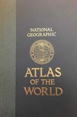
The fifth edition of the National Geographic Atlas of the World from 1981 is a monumental cartographic work. It contains detailed maps, satellite imagery, and geographic data from the height of the Cold War.
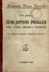
A geography textbook for all continents (except Europe) intended for lower grades of secondary schools in the Independent State of Croatia. The work of the prominent Croatian geographer and pedagogue Ivo Juras, illustrated with interesting black-and-white
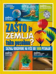
WHY do rainbows form? Why are leaves green? Why does the Earth spin fastest at the equator? Why can't they dig a path to the other side of the earth? Why is the sea salty? Why do we ask why? Because we always want to learn something new!
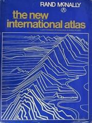
The monumental cartographic work The New International Atlas by Rand McNally from 1980 provides extremely precise multilingual maps and a detailed overview of the geopolitical landscape of the world during the Cold War.