Atlases and maps
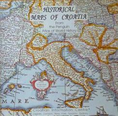
Historical Maps of Croatia
An introduction to Croatian history through maps, illustrations and chronological summaries, with ethnic maps adding a demographic perspective to historical geography.
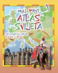
Moj prvi atlas svijeta 1: Geografski atlas Europe i Azije
Educational children's atlas from 2013. Through colorful thematic maps, vivid illustrations and accessible facts, it adapts the geography of Europe and Asia to the youngest explorers of the planet.
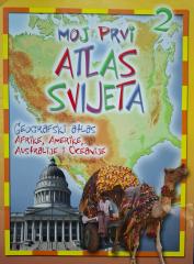
Moj prvi atlas svijeta 2: Geografski atlas Afrike, Amerike, Australije i Oceanije
Educational children's atlas from 2013. Through colorful maps and illustrations, it takes the youngest on a journey through Africa, America, Australia and Oceania, revealing their natural and cultural diversity.
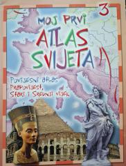
Moj prvi atlas svijeta 3: Povijesni atlas - prapovijest, stari i srednji vijek
Educational children's atlas from 2013. Through colorful maps and illustrations, it takes the youngest on a journey through prehistory, ancient and medieval times, revealing key events and ancient civilizations.
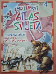
Moj prvi atlas svijeta 4: Povijesni atlas - XX. i XXI. stoljeće
Ovaj obrazovni istorijski atlas pruža pregled ključnih svetskih događaja 20. i 21. veka. Sa jasnim mapama i ilustracijama, priručnik olakšava razumevanje savremene istorije i geografije.
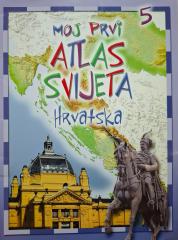
Moj prvi atlas svijeta 5: Hrvatska
Ovaj edukativni dečji atlas pruža pregled geografskih, prirodnih i kulturnih karakteristika Hrvatske. Uz slikovite karte i ilustracije, priručnik na zabavan način približava domovinu najmlađima.
National Geographic Atlas of the World
Peto izdanje Nacionalnog geografskog atlasa sveta iz 1981. godine je monumentalno kartografsko delo. Sadrži detaljne mape, satelitske snimke i geografske podatke iz vrhunca Hladnog rata.
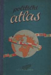
Politički atlas
Politički atlas (Učila, Zagreb, 1957) je džepni atlas sa političkim kartama sveta i pregledom zemalja, granica i geografskih karakteristika u periodu posle Drugog svetskog rata.
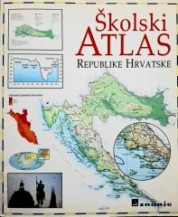
Školski atlas Republike Hrvatske
Školski atlas Republike Hrvatske (2000) osnovno je kartografsko nastavno sredstvo namenjeno učenicima. Sadrži detaljne geografske, tematske i istorijske karte Hrvatske i sveta, uz dodatne podatke.
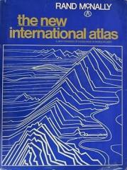
The New International Atlas
Monumentalno kartografsko delo Novi međunarodni atlas Renda Maknalija iz 1980. godine pruža izuzetno precizne višejezične mape i detaljan pregled geopolitičkog pejzaža sveta tokom Hladnog rata.