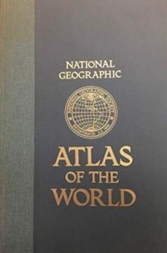
National Geographic Atlas of the World
The fifth edition of the National Geographic Atlas of the World from 1981 is a monumental cartographic work. It contains detailed maps, satellite imagery, and geographic data from the height of the Cold War.
The fifth edition of the famous cartographic atlas National Geographic Atlas of the World, published in 1981, represents one of the most comprehensive and high-quality editions of the National Geographic Society from the second half of the 20th century. Recognizable by its large format and distinctive yellow accents, this atlas combines superb cartographic precision, rich thematic units and high aesthetic value for which this publisher is world-renowned.
The content includes extremely detailed physical and political maps of all continents, oceans, polar regions, as well as space and the Solar System. The 1981 edition offers a fascinating historical insight into the geopolitical picture of the world at the height of the Cold War – with clearly delineated borders of the USSR, Yugoslavia, Czechoslovakia and political divisions in Asia and Africa before the collapse of the bloc system.
In addition to classic maps, the atlas contains a rich text section, statistical data on the population and economy, climate diagrams and the most modern satellite images of the Earth at the time. This edition is highly regarded among antiquarian book collectors, geographers, and cartography enthusiasts, and serves as an excellent visual and historical document of a time.
One copy is available