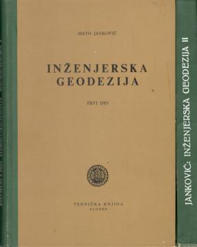
Inženjerska geodezija I i II
Engineering Geodesy is a key textbook intended for students of geodesy, civil engineering, and related technical disciplines. The book provides a comprehensive overview of geodetic methods and techniques, with a focus on practical application in construct
The work is structured to cover basic and advanced aspects of engineering geodesy. It begins with an introduction to geodetic networks, including triangulation, trilateration, and leveling, with an emphasis on measurement accuracy. Janković describes in detail the procedures for creating geodetic bases for projects such as roads, bridges, tunnels, and buildings. Special attention is paid to modern instruments, such as theodolites, electronic rangefinders, and levels, and their calibration and use.
The book also covers specific engineering tasks, such as monitoring deformations of buildings, surveying in mining, and creating a cadastre. Janković emphasizes the importance of coordinate systems, transformations, and data processing, while adapting the methods to modern technologies available at the time of writing. Illustrations, diagrams, and practical examples facilitate the understanding of complex concepts.
As a respected expert, Janković has brought his experience from Croatian infrastructure projects to the work, making the book an indispensable resource for students and engineers. Although written before the advent of GPS, it remains relevant due to its fundamental principles and practical approach.
The book consists of two volumes.
Jedan višetomni primjerak je u ponudi.