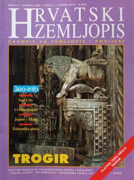
Hrvatski zemljopis # 41 - svibanj 1999: Trogir
Dimensions
27 x 20 cm
Pages
58
Publisher
Hrvatski zemljopis, Zagreb, 1999.
Latin alphabet. Paperback.
Language: Croatian.
One copy is available
Condition:Used, excellent condition
Added to cart!
One copy is available
Are you interested in another book? You can search the offer using our search engine or browse books by category.
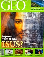
Geo – Getting to Know and Understand the World offers an exciting insight into Earth's natural beauty, cultural richness, and geographical diversity. Through fascinating stories and facts, it brings our planet closer to us.

The first issue of the Croatian magazine Tantra – dedicated to the tantric approach to sexuality, love and spirituality, today an antiquarian rarity. Ideal for men who want to gain control and prolong intimacy.
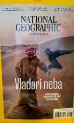
National Geographic Croatia is a premium magazine featuring fascinating stories about nature, science, culture, and travel, enriched by distinctive, flawless photography.

An interesting and extremely rare anticlerical whole: a complete set of the Graz magazine "Freidenker" (1869–1871) with the statutes of the Freidenker-Verein and three anticlerical brochures - a key source of early Austrian freethinking.

The second issue of the Croatian tantric magazine Tantra, edited by Davor Stančić (a pioneer of tantra in the region), introduces more columns and broadens the focus on practical exercises for both sexes, tantric tradition, and deep experiences.
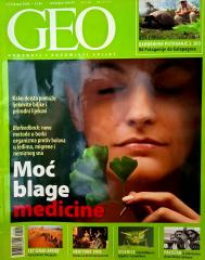
Geo – Getting to Know and Understand the World offers an exciting insight into Earth's natural beauty, cultural richness, and geographical diversity. Through fascinating stories and facts, it brings our planet closer to us.