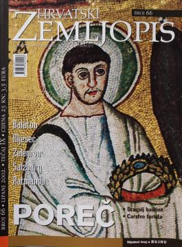
Hrvatski zemljopis # 66 - lipanj 2002: Poreč
One copy is available
- Pencil notes

One copy is available
Are you interested in another book? You can search the offer using our search engine or browse books by category.
A rare interwar edition of a geography textbook (Belgrade, 1934) with 11 color atlas maps and 150 illustrations. Valuable as an antiquarian and cultural-historical document of education and cartography in the Kingdom of Yugoslavia.
Guide with 53 photos, 2 sketches and a color overview map.
The book contains important facts and answers to many questions about the Earth and the universe.
From The Penguin Atlas of World History that offers a unique combination of maps and illustrations with detailed chronological summary.
The Atlas offers detailed and updated maps of roads, highways, main thoroughfares, but also smaller regional roads in European countries.