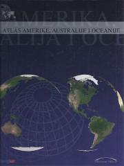
Atlas Europe
Original title
Monde neuf
Editor
Denis Šehić, Demir Šehić
Dimensions
28.5 x 22.5 cm
Pages
120
Publisher
Europapress holding, Zagreb
Latin alphabet. Hardcover.
Language: Croatian.
ISBN
978-9-53674-806-8
Two copies are available
Two copies are available
Are you interested in another book? You can search the offer using our search engine or browse books by category.
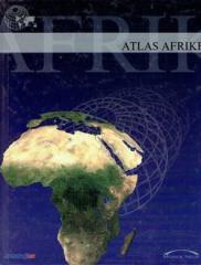
The atlas contains thematic maps of the whole of Africa, physical maps of regions and Africa as a whole, and physical maps and basic data for each of the fifty-four states. There is an index of geographical names.