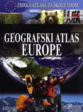
Geografski atlas Europe
The atlas provides a systematic overview of Europe through physical and political maps, thematic maps, statistical data and country profiles, enabling an understanding of the continent's natural and social features. The secod book in the "Collection of At
The Geographic Atlas of Europe by Denis and Demir Šehić is part of the Atlas Collection for Schools and Homes edition and presents a comprehensive overview of the European continent through contemporary cartographic processing and thematic geographical representations. The content is organized to include general natural geographical features of Europe, the regional division of the continent, and individual representations of all European countries.
The atlas contains detailed physical and political maps showing relief, river systems, mountain ranges, climatic regions, vegetation zones, and transport infrastructure. For each country, it provides basic geographical and statistical data, including area, population, capital, administrative structure, official language, and other important indicators. Thematic maps show the distribution of population, economic activities, industrial centers, agriculture, transport corridors, and natural resources, enabling comparisons between European regions.
The special value of the atlas lies in the clear connection of natural and social processes that shape the European space. Photographs, tables, and graphs complement the cartographic representations and facilitate the understanding of geographical principles. The atlas is intended for geography classes, independent learning, and for anyone who wants a reliable source of information about the European continent.
One copy is available
- Slight damage to the cover