
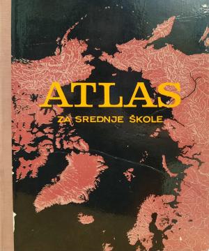
Atlas za srednje škole
One copy is available
- Cracked back
- A message of a personal nature

One copy is available
Are you interested in another book? You can search the offer using our search engine or browse books by category.
"Croatian Primorje in the literal sense of the word includes the western side of the former counties of Modruška-Rijeka and Lika-Krbavska along the Adriatic Sea. It stretches from Rijeka-Šušak in the north to the river Zrmanja in the south."
Guide with 53 photos, 2 sketches and a color overview map.
The author worked on the creation of historical atlases and maps that showed the development of Croatian lands through the centuries.
School atlas by Anton Emanuel Seibert for civic and multi-grade elementary schools, published in Vienna around 1901. Contains 19 main and 12 auxiliary maps of Europe and the world, as well as depictions of Austria-Hungary.
The Atlas offers detailed and updated maps of roads, highways, main thoroughfares, but also smaller regional roads in European countries.