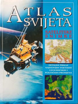
Atlas svijeta - satelitske snimke
Original title
Satellite atlas of the world
Translation
Katarina Jakovac, Radovan Stipetić
Dimensions
35.5 x 26.5 cm
Pages
223
Publisher
Extrade, Rijeka, 1998.
Latin alphabet. Hardcover with dust jacket.
Language: Croatian.
ISBN
9-53-634215-4
One copy is available
Condition:Used, excellent condition
Damages or inconvenience notice:
- Slight damage to the dust jacket
Added to cart!