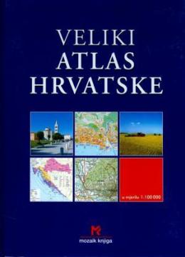
Veliki atlas Hrvatske
Editor
Ivanka Borovac
Illustrations
Milan Curić, Željko Krčadinac, Zvonimir Tanocki, Davor Šarić, Krešimir Mrčela
Dimensions
30 x 22 cm
Pages
479
Publisher
Mozaik knjiga, Zagreb, 2002.
Latin alphabet. Hardcover.
Language: Croatian.
One copy is available
Condition:Used, excellent condition
Added to cart!