Atlases and maps
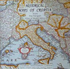
Historical Maps of Croatia
Pregled hrvatske istorije kroz geografske karte, ilustracije i hronološke sažetke, uz etničke karte koje prostorne odnose povezuju s istorijskim i demografskim promenama.
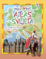
Moj prvi atlas svijeta 1: Geografski atlas Europe i Azije
Edukativni dječji atlas iz 2013. Kroz šarene tematske karte, živopisne ilustracije i pristupačne činjenice prilagođava geografiju Europe i Azije najmlađim istraživačima planeta.
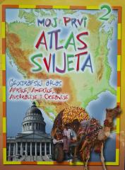
Moj prvi atlas svijeta 2: Geografski atlas Afrike, Amerike, Australije i Oceanije
Educational children's atlas from 2013. Through colorful maps and illustrations, it takes the youngest on a journey through Africa, America, Australia and Oceania, revealing their natural and cultural diversity.
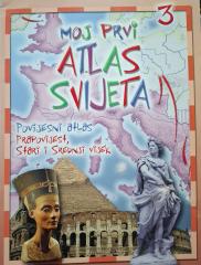
Moj prvi atlas svijeta 3: Povijesni atlas - prapovijest, stari i srednji vijek
Educational children's atlas from 2013. Through colorful maps and illustrations, it takes the youngest on a journey through prehistory, ancient and medieval times, revealing key events and ancient civilizations.
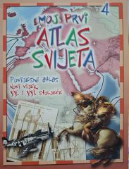
Moj prvi atlas svijeta 4: Povijesni atlas - XX. i XXI. stoljeće
Dieser historische Bildungsatlas bietet einen Überblick über die wichtigsten Weltereignisse des 20. und 21. Jahrhunderts. Mit übersichtlichen Karten und Illustrationen erleichtert das Handbuch das Verständnis der zeitgenössischen Geschichte und Geographie
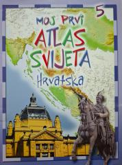
Moj prvi atlas svijeta 5: Hrvatska
Dieser pädagogische Kinderatlas bietet einen Überblick über die geografischen, natürlichen und kulturellen Besonderheiten Kroatiens. Mit malerischen Karten und Illustrationen bringt er den Jüngsten ihre Heimat auf spielerische Weise näher.
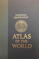
National Geographic Atlas of the World
Peto izdanje National Geographic Atlas of the World iz 1981. monumentalno je kartografsko djelo. Sadrži detaljne zemljovide, satelitske snimke i geografske podatke s vrhunca Hladnoga rata.
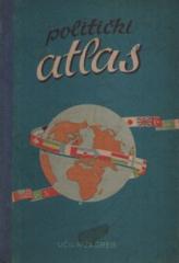
Politički atlas
Politički atlas (Učila, Zagreb, 1957.) džepni je atlas s političkim kartama svijeta i pregledom država, granica i geografskih obilježja u razdoblju nakon Drugog svjetskog rata.
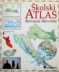
Školski atlas Republike Hrvatske
Školski atlas Republike Hrvatske (2000.) temeljni je kartografski učilo namenjen učenicima. Sadrži detaljne geografske, tematske i povijesne karte Hrvatske i svijeta uz prateće podatke.
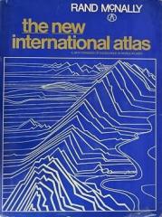
The New International Atlas
Monumentalno kartografsko djelo The New International Atlas tvrtke Rand McNally iz 1980. donosi iznimno precizne višejezične karte i detaljan pregled geopolitičkog izgleda svijeta iz doba Hladnog rata.