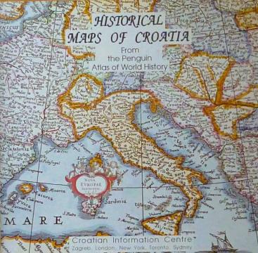
Historical Maps of Croatia
From The Penguin Atlas of World History that offers a unique combination of maps and illustrations with detailed chronological summary.
Editor
Ante Beljo
Dimensions
22 x 22 cm
Pages
36
Publisher
Croatian Information Centre, Zagreb, 1993.
Latin alphabet. Paperback.
Language: English.
One copy is available
Condition:Used, excellent condition
Added to cart!