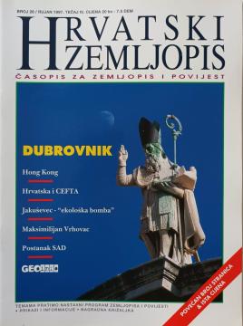
Hrvatski zemljopis # 26 - rujan 1997: Dubrovnik
Dimensions
27 x 20 cm
Pages
58
Publisher
Hrvatski zemljopis, Zagreb, 1997.
Latin alphabet. Paperback.
Language: Croatian.
One copy is available
Condition:Used, excellent condition
Added to cart!
One copy is available
Are you interested in another book? You can search the offer using our search engine or browse books by category.

The author worked on the creation of historical atlases and maps that showed the development of Croatian lands through the centuries.
Westermann geographical atlas of the world, Earth and space, countries of the world

"Pictures from General Geography" is a popular geographical work that depicts Bulgaria, Serbia and Montenegro through their natural features, population, history, economy and culture, with numerous illustrations and a geographical map.


The Atlas offers detailed and updated maps of roads, highways, main thoroughfares, but also smaller regional roads in European countries.

A rare interwar edition of a geography textbook (Belgrade, 1934) with 11 color atlas maps and 150 illustrations. Valuable as an antiquarian and cultural-historical document of education and cartography in the Kingdom of Yugoslavia.