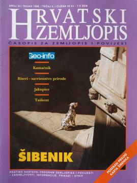
Hrvatski zemljopis # 34 - rujan 1998: Šibenik
Dimensions
27 x 20 cm
Pages
58
Publisher
Hrvatski zemljopis, Zagreb, 1998.
Latin alphabet. Paperback.
Language: Croatian.
One copy is available
Condition:Used, excellent condition
Added to cart!
One copy is available
Are you interested in another book? You can search the offer using our search engine or browse books by category.
National Geographic Croatia is a premium magazine featuring fascinating stories about nature, science, culture, and travel, enriched by distinctive, flawless photography.
Geo – Getting to Know and Understand the World offers an exciting insight into Earth's natural beauty, cultural richness, and geographical diversity. Through fascinating stories and facts, it brings our planet closer to us.
National Geographic Croatia is a premium magazine featuring fascinating stories about nature, science, culture, and travel, enriched by distinctive, flawless photography.
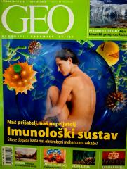
Geo – Getting to Know and Understand the World offers an exciting insight into Earth's natural beauty, cultural richness, and geographical diversity. Through fascinating stories and facts, it brings our planet closer to us.
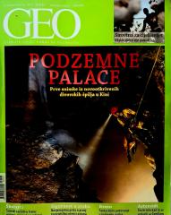
Geo – Getting to Know and Understand the World offers an exciting insight into Earth's natural beauty, cultural richness, and geographical diversity. Through fascinating stories and facts, it brings our planet closer to us.
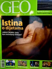
Geo – Getting to Know and Understand the World offers an exciting insight into Earth's natural beauty, cultural richness, and geographical diversity. Through fascinating stories and facts, it brings our planet closer to us.