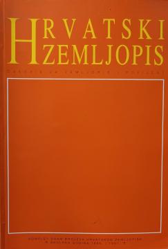
Hrvatski zemljopis - školska godina 1996/1997: Komplet osam brojeva Hrvatskog zemljopisa
No copies available
The last copy was sold recently.
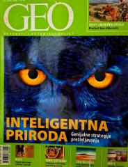
No copies available
The last copy was sold recently.
Are you interested in another book? You can search the offer using our search engine or browse books by category.
WHY do rainbows form? Why are leaves green? Why does the Earth spin fastest at the equator? Why can't they dig a path to the other side of the earth? Why is the sea salty? Why do we ask why? Because we always want to learn something new!
The author worked on the creation of historical atlases and maps that showed the development of Croatian lands through the centuries.
"Pictures from General Geography" is a popular geographical work that depicts Bulgaria, Serbia and Montenegro through their natural features, population, history, economy and culture, with numerous illustrations and a geographical map.
The Atlas offers detailed and updated maps of roads, highways, main thoroughfares, but also smaller regional roads in European countries.
Follow the adventure and travel the oceans in search of the blue whale, the largest living mammal.
The monumental cartographic work The New International Atlas by Rand McNally from 1980 provides extremely precise multilingual maps and a detailed overview of the geopolitical landscape of the world during the Cold War.