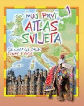
Moj prvi atlas svijeta 1: Geografski atlas Europe i Azije

Moj prvi atlas svijeta 1: Geografski atlas Europe i Azije

Educational children's atlas from 2013. Through colorful thematic maps, vivid illustrations and accessible facts, it adapts the geography of Europe and Asia to the youngest explorers of the planet.

"My First World Atlas: Geographic Atlas of Europe and Asia" (2013 edition) is an attractive and educational cartographic and pictorial edition intended for preschool and early elementary school children. It was designed to introduce the youngest readers to basic geographical concepts and the richness of the European and Asian continents in a fun, simple and visually accessible way. The book includes clear, adapted maps enriched with numerous illustrations and symbols. Each region or country is shown through recognizable features: from geographical reliefs (mountains, rivers, seas), characteristic animal and plant species, to famous buildings, cultural heritage and the specifics of people's lives. Through play and observation, children learn about the diversity between European countries and the vastness and natural wonders of Asia - from the northern polar regions to the tropics. Written in clear and concise text with an emphasis on visual learning, this edition stimulates children's curiosity, develops the first map reading skills and serves as an excellent foundation for understanding the world around us.

Editor
Gordan Zečić
Dimensions
29.5 x 22 cm
Pages
31
Publisher
EPH media d. o. o., Zagreb, 2013.
 
Latin alphabet. Paperback.
Language: Croatian.

One copy is available

Condition:Used, excellent condition
 

Are you interested in another book? You can search the offer using our search engine or browse books by category.

You may also be interested in these titles

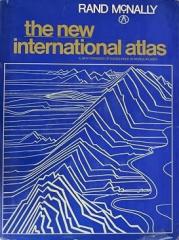
The New International Atlas

The New International Atlas

The monumental cartographic work The New International Atlas by Rand McNally from 1980 provides extremely precise multilingual maps and a detailed overview of the geopolitical landscape of the world during the Cold War.

Rand McNally, 1980.
English. Latin alphabet. Hardcover with dust jacket.
28.46 €
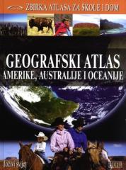
Geografski atlas Amerike, Australije i Oceanije

Geografski atlas Amerike, Australije i Oceanije

Denis Šehić, Demir Šehić

The Geographic Atlas of America, Australia and Oceania features physical and political maps of countries, thematic maps, statistical data and geographical and historical overviews of regions and countries of the three continents. The fourth book in the se

Profil Knjiga, 2009.
Croatian. Latin alphabet. Hardcover.
5.42 €
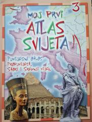
Moj prvi atlas svijeta 3: Povijesni atlas - prapovijest, stari i srednji vijek

Moj prvi atlas svijeta 3: Povijesni atlas - prapovijest, stari i srednji vijek

Educational children's atlas from 2013. Through colorful maps and illustrations, it takes the youngest on a journey through prehistory, ancient and medieval times, revealing key events and ancient civilizations.

EPH media d. o. o., 2013.
Croatian. Latin alphabet. Paperback.
2.50 €
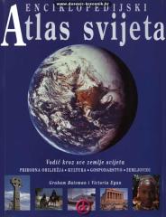
Enciklopedijski atlas svijeta

Enciklopedijski atlas svijeta

Graham Bateman, Victoria Egan

An encyclopedic handbook for school and every home. More than 500 pages, 200 maps and more than 500 photographs and illustrations. Rich and varied geographical, historical and economic content in encyclopedic format.

Extrade, 2001.
Croatian. Latin alphabet. Paperback.
32.46 €
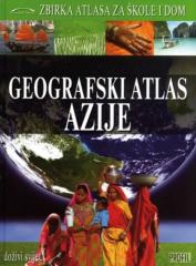
Geografski atlas Azije

Geografski atlas Azije

Denis Šehić, Demir Šehić

The Geographical Atlas of Asia provides an overview of the natural, social and economic features of the largest continent through detailed maps, photographs and overviews. The third of nine books in the "Collection of Atlases for Schools and Home" series.

Profil Knjiga.
Croatian. Latin alphabet. Hardcover.
6.42 €
Grosser Autoatlas Europa: 1:800000

Grosser Autoatlas Europa: 1:800000

Freytag & Berndt, 2011.
Croatian. Latin alphabet. Hardcover.
9.74 €