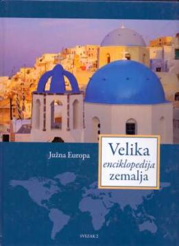
Velika enciklopedija zemalja – Južna Europa
Dimensions
30 x 23 cm
Publisher
Liber novus, Zagreb, 2009.
Latin alphabet. Hardcover.
Language: Croatian.
ISBN
978-9-53756-144-4
One copy is available
Condition:Used, excellent condition
Added to cart!
One copy is available
Are you interested in another book? You can search the offer using our search engine or browse books by category.
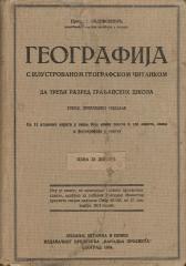
Eine seltene Ausgabe eines Geographie-Lehrbuchs aus der Zwischenkriegszeit (Belgrad, 1934) mit 11 farbigen Atlas-Karten und 150 Abbildungen. Wertvoll als antiquarisches und kulturhistorisches Dokument zur Bildung und Kartographie im Königreich Jugoslawien
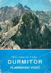
Reiseführer mit 53 Fotos, 2 Skizzen und einer farbigen Übersichtskarte.
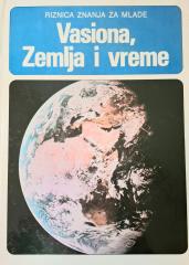
Das Buch „Vasiona, Zemlja i Mjesen“ (1981) ist ein populärwissenschaftliches Werk, das die Grundbegriffe der Astronomie und der Geowissenschaften auf verständliche Weise erklärt.
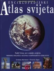
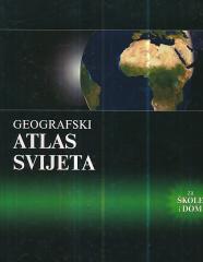
Enzyklopädisches Handbuch für die Schule und jedes Zuhause. Mehr als 500 Seiten, 200 Karten und über 500 Fotos und Illustrationen. Umfangreiche und vielfältige geografische, historische und wirtschaftliche Inhalte im enzyklopädischen Format.
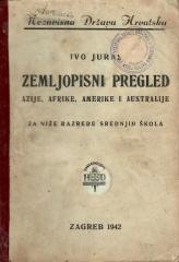
A geography textbook for all continents (except Europe) intended for lower grades of secondary schools in the Independent State of Croatia. The work of the prominent Croatian geographer and pedagogue Ivo Juras, illustrated with interesting black-and-white