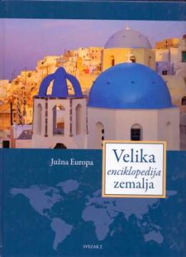
Velika enciklopedija zemalja – Južna Europa
Angeboten wird ein Exemplar

Angeboten wird ein Exemplar
Interessieren Sie sich für ein anderes Buch? Sie können das Angebot über unsere Suchmaschine suchen und finden oder Bücher nach Kategorien durchsuchen.
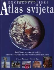
Enciklopedijski priručnik za školu i svaki dom. Više od 500 stranica, 200 zemljovida i više od 500 fotografija i ilustracija. Bogat i raznovrstan geografski, povijesni i ekonomski sadržaj enciklopedijskog formata.
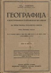
A rare interwar edition of a geography textbook (Belgrade, 1934) with 11 color atlas maps and 150 illustrations. Valuable as an antiquarian and cultural-historical document of education and cartography in the Kingdom of Yugoslavia.
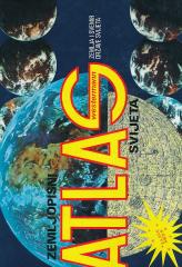
Westermann geographical atlas of the world, Earth and space, countries of the world
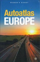
The Atlas offers detailed and updated maps of roads, highways, main thoroughfares, but also smaller regional roads in European countries.
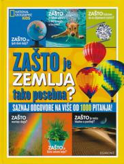
WHY do rainbows form? Why are leaves green? Why does the Earth spin fastest at the equator? Why can't they dig a path to the other side of the earth? Why is the sea salty? Why do we ask why? Because we always want to learn something new!